
London Maps
Town Plans
( Page 1 of 13 )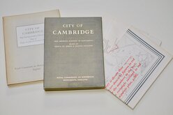
Cambridge, King's St. John's & Trinity
Ely 1729
Durham 1804
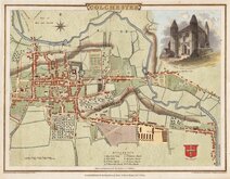
Colchester 1805
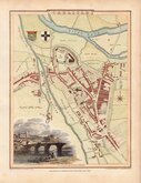
Carlisle 1805
Derby 1806

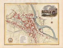
Norwich 1807
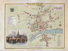
Bedford 1807


22x33 cm
Colour printed lithograph published by John Bartholomew in his Royal Atlas of England and Wales in 1898. The Cambridge and Oxford town plans were printed on the same page and this Cambridge plan has been separated from Oxford with subsequent loss of left margin.
Quick Links

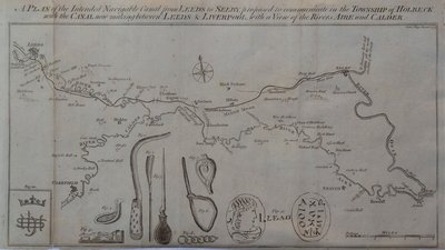
Waterways & Railways

Road Maps
×