
Waterways & Railways
Town Plans
( Page 1 of 13 )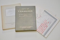
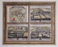
Cambridge, King's St. John's & Trinity
Ely 1729
Durham 1804
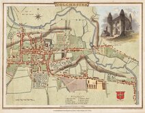
Colchester 1805
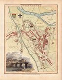
Carlisle 1805
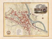
Derby 1806

Norwich 1807
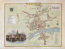
Bedford 1807


50x75 cm
Barnett's IPSWICH WITH ENLARGED TOWN CENTRE PLAN SHOWING CAR PARKS, ONE-WAY STREETS & PUBLIC CONVENIENCES WITH DISTRICT ROAD MAP Street Plan with Index A GIBarnett publication 45p
Card covers. Fold-out plan of Ipswich 50x42cm. Advertisements top, Index below. Verso: Enlarged plan of Ipswich town centre 50x35cm. District Map and small map of 100 miles round Ipswich. Advertisement below.
Covers a little worn and map with a few short splits at folds otherwise clean.
Quick Links

London Maps

Road Maps
×