
London Maps
Town Plans
( Page 1 of 13 )
Cambridge, King's St. John's & Trinity

Ely 1729
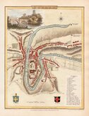
Durham 1804
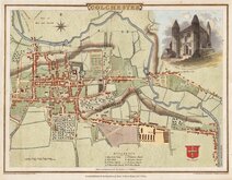
Colchester 1805
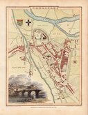
Carlisle 1805
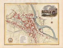
Derby 1806

Norwich 1807
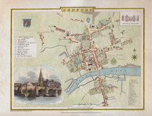
Bedford 1807

£2 Barnett Street Plan Hoddesdon
Ref: 6242g
Add to
basket
Thanks,Your Product Has Been Added To Basket

51x76 cm
Barnett's HODDESDON AND BROXBOURNE Street Plan with index WITH PLAN OF NAXEING AND DISTRICT ROAD MAP A GIBarnett publication 65p
Card covers. Fold-out plan of Hoddesdon & Broxbourne 36x44cm. Extension to Nazeing, plan of 50 miles from Hoddesdon, map of Hertfordshire, advertisement and part index on 3 sides. Verso blank.
In very good, clean condition except 2 closed tears 2 & 3cm. left edge.
Quick Links


Road Maps
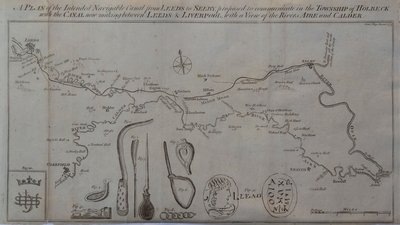
Waterways & Railways
×