
Staffordshire Maps
Shropshire Maps
( Page 1 of 3 )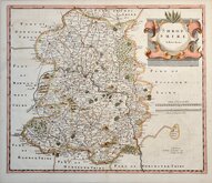
Robert Morden 1695 [1753]
Emanuel Bowen 1720
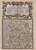
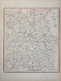
Thomas Kitchin 1763
Thomas Kitchin 1763
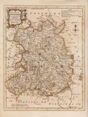
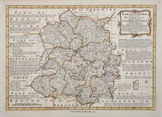
Joseph Ellis 1765 [1773]
Emanuel Bowen 1767 [1770]
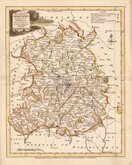
John Haywood 1788
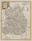
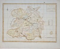
John Cary 1789 [1805]


44x50 cm
"STOCKDALE CARY"
A MAP OF SHROPSHIRE FROM THE BEST AUTHORITIES.
Engraved by J. Cary.
Published by John Stockdale Piccadilly 26 March 1805
Copper engraving by John Cary (1755-1835). The maps were first issued in parts by T. Payne & Son, and G.G.J. & J. Robinson for Richard Gough's translation of William Camden's Britannia, the completed work being published in 1789. Following the death of Payne, the Robinson family sold the plates and publication rights to John Stockdale. Richard Gough was reportedly annoyed with the new arrangements and refused to work on the new edition and Stockdale completed the editorial work himself, expanding the work to four folio volumes and publishing them in 1806. Stockdale also used the plates in his New British Atlas from 1805 to 1809.
Additional creasing at centrefold but a good clean example of the map of Shropshire from the Stockdale edition with dated imprint of 1805 in original hand colour.
Quick Links


Wales Maps

Herefordshire Maps
×