
Herefordshire Maps
Shropshire Maps
( Page 1 of 3 )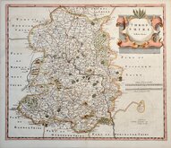
Robert Morden 1695 [1753]
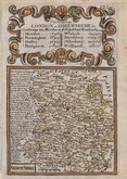
Emanuel Bowen 1720
Thomas Kitchin 1763
Thomas Kitchin 1763
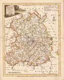
Joseph Ellis 1765 [1773]
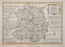
Emanuel Bowen 1767 [1770]
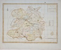
John Haywood 1788
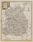
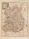
John Cary 1789 [1805]


22x27 cm
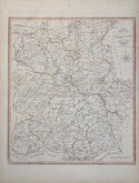
CARY'S QUARTO SERIES
SHROPSHIRE
By JOHN CARY, Engraver.
London: Published July 1.1809 by J.Cary Engraver & Map seller Strand.
Copper engraving by John Cary (1755-1835). This series of maps, commonly known as his "quarto" series, were published in Cary's New and Correct English Atlas and were justifiably popular, running to many editions from 1787 until about 1804. Re-engraved plates extended the life of the series from 1808 to 1843 and lithographic transfers from the plates by later publishers continued publication until about 1876 - a life of nearly 90 years.
This map of Shropshire is the first state of the re-engraved plate published in Cary's New and Correct English Atlas of 1809 and is a lovely example in fine original hand colour. Includes original typeset page of text description of the county.
Quick Links


Staffordshire Maps

Wales Maps
×