
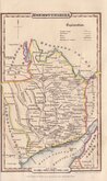
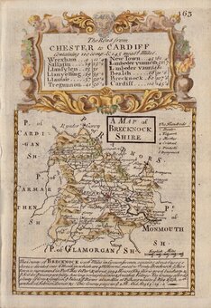
Brecknockshire
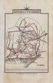
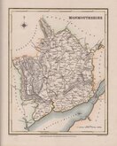
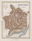
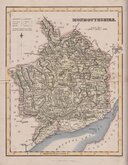
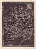
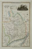
Monmouthshire
( Page 2 of 3 )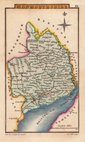
Sidney Hall 1820
John Cary 1822
Roger Creighton 1831
Gray & Son 1833
Gray & Son. 1833
Joshua Archer 1833
James Pigot 1839
James Pigot 1839


41x45 cm
A | MAP | MONMOUTHSHIRE | from the best | AUTHORITIES
Published by John Stockdale Piccadilly 26.th March 1805.
Engraved by J. Cary.
Copper engraving by John Cary (1755-1835) first issued in parts by T. Payne & Son, and G.G.J. & J. Robinson for Richard Gough's translation of William Camden's Britannia, the completed work being published in 1789. Following the death of Payne, the Robinson family sold the plates and publication rights to John Stockdale. Richard Gough was reportedly annoyed with the new arrangements and refused to work on the new edition and Stockdale completed the editorial work himself, expanding the work to four folio volumes and publishing them in 1806. Stockdale also used the plates in his New British Atlas from 1805 to 1809.
A good clean hand coloured example from Stockdale's New British Atlas of 1805.
Dated watermark of 1804.
Quick Links
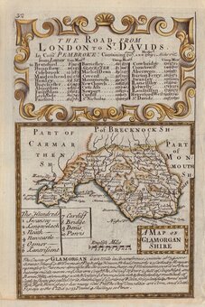
Glamorganshire

Herefordshire Maps
×