
Environs of London
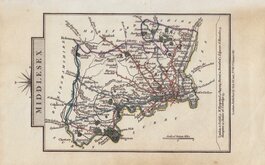
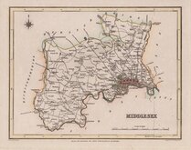
Middlesex Maps
( Page 3 of 5 )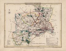
George Cole 1807
John Cary 1808 [1809]
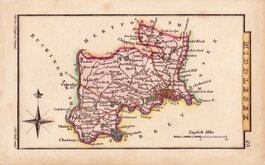
Samuel Neele 1812 [c.1818]
Thomas Tegg 1815 [c.1816]
Sidney Hall 1820
John Cary 1822
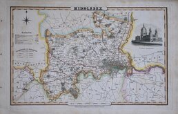
James Pigot 1826
Roger Creighton 1831


24x20 cm
FROM "THE PICTURE OF LONDON..."
MAP OF THE ENVIRONS OF LONDON.
Neele sculpt.352 Strand.
London. Published Jan. 1815 by Longman, Hurst, Rees, Orme & Brown. Paternoster Row.
First published in The Picture of London... by John Feltham by Longman Hurst etc., 1815. This issue, with imprint dated 1815, was published in several issues between 1816 and 1827.
Folds as issued and three archival tissue repairs verso to edge tears reaching the map border, but with good wash hand colour, it remains an attractive map.
Darlngton & Howgego ref. 263 (2).
SPECIAL OFFER MOUNT OPTION AVAILABLE AT CHECKOUT FOR UK DELIVERY
Quick Links


Central London

Hertfordshire Maps
×