
Northamptonshire Maps
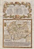
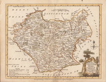
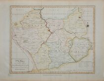
Leicestershire Maps
( Page 1 of 3 )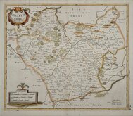
Robert Morden 1695 [1753]
Emanuel Bowen 1720
Joseph Ellis 1765 [1773]
John Haywood 1787 [1791]
John Cary 1787 [1793]
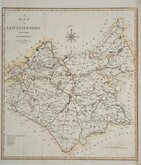
John Cary 1789 [1805]
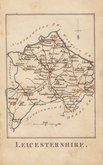
Robert Butters 1803
John Cary 1808 [1809]


24x18 cm
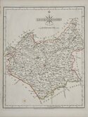
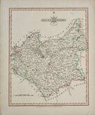
ORIGINAL HAND COLOUR. "DUGDALE" MAP.
LEICESTERSHIRE.
Drawn & Engraved by J.Archer, Pentonville London.
First published in Curiosities of Great Britain. England and Wales delineated...by Thomas Dugdale, antiquarian. London L. Tallis 1842.
With the addition of a number of railways this Leicestershire map is from the 1860 edition of Dugdale's England and Wales Delineated.
Spotting at centrefold in the blank area above the county otherwise good in full original wash colour.
Quick Links


Warwickshire Maps

Staffordshire Maps
×