
Essex Maps
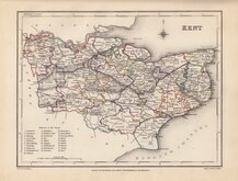
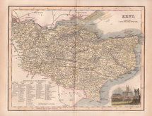
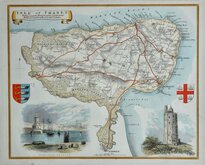
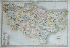
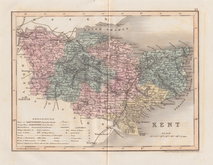
Kent Maps
( Page 3 of 3 )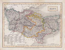
Sidney Hall 1830
Roger Creighton 1831 [c.1845]
Robert Scott 1833
Thomas Moule Thanet 1837 [1842]
James Pigot 1839
J. Addison 1839
Joshua Archer 1842 [1858]
Geographia 1924


24x19 cm
FIRST STATE. NEAT HAND COLOUR.
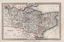
KENT.
ENGRAVED BY SID.Y HALL.
London, Published by Chapman & Hall, 186 Strand. Dec.r 1830.
This series of maps first appeared in Gorton's Topographical Dictionary issued in parts over a three year period from 1830, the complete work published in 1831 and 1833. They were also issued as individual folding maps by Chapman and Hall in 1832. The maps then appeared, intaglio printed, in A New British Atlas…, Sidney Hall's British Atlas…, A Travelling County Atlas… and other variations on the title, from 1834 until 1857 and then by lithographic transfer until c.1888. It's popularity due in part to Hall's regular updating of the plates to include the latest railways.
2 Vertical folds as issued. A good hand coloured example of the map of Kent from the first published state issued between 1830 and 1833.
Quick Links


Sussex Maps

Surrey Maps
×