
Wiltshire Maps
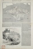
Isle of Wight
( Page 2 of 2 )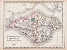
Selina Hall 1833 [c.1859]
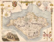
Thomas Moule 1837 [1842]
Joshua Archer 1842 [1846]
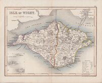
Joshua Archer 1842 [c.1846]
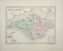
John James Dower 1844
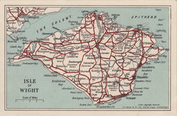
Isle of Wight Postcard 1950
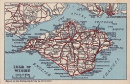
Isle of Wight Postcard 1950
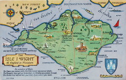
Isle of Wight Postcard 1970


25x20 cm
BY A FEMALE ENGRAVER DURING THE REIGN OF WILLIAM IV
ISLE OF WIGHT
ENGRAVED BY S. HALL
This series of maps first appeared in Gorton's Topographical Dictionary issued in parts over a three year period from 1830, the complete work not published again after 1833. The maps were then issued in A New British Atlas…, Sidney Hall's British Atlas…, A Travelling County Atlas… and other variations on the title, from 1834 until c.1888. It's popularity due in part to Hall's continuous updating of the plates to include the latest railways. The maps were intaglio printed until c.1858 and then by lithographic transfer until 1885.
It has been assumed that all the maps for this series were engraved by Sidney Hall (1788?-1831), but Sidney Hall married Selina Price (1780?-1853) in 1821 and his engraving business was continued by his wife after his death in 1831 who signed her maps "S.Hall.". She was clearly a highly skilled engraver, presumably trained by her husband, and stylistically there is little difference in their work. Sidney Hall usually signed his maps “Sidy. Hall” so it is reasonable to assume that maps produced around the time of his death signed “S.Hall” are by Selina Hall. She is recorded as an engraver on the 1842 Census, living in Bury Street with a servant. She was buried 23 Nov. 1853 at St. George, Bloomsbury. In her will, she left her books, maps etc., to her nephew Edward Weller (1819-1884) who took over the Bury Street premises and continued the business.
This example, is a lithographic transfer in original hand colour published from about 1859.
Quick Links


Hampshire Maps

Dorset Maps
×