
Middlesex Maps
Hertfordshire Maps
( Page 9 of 11 )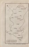
William Cobbett 1832
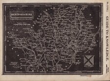
Joshua Archer 1833
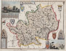
Robert Gray 1833 [c.1840]
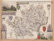
Christopher & John Greenwood 1834
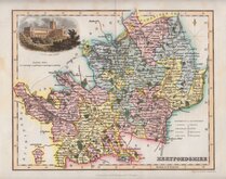
Thomas Moule 1837
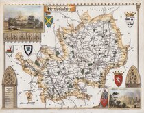
Thomas Moule 1837
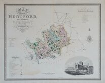
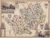
Thomas Moule 1837 [c.1845]
Thomas Moule 1837 [c.1845]


10x18 cm
UNCOMMON. DISTORTED MAP, NO SCALE, NORTH-EAST TO THE TOP OF THE PAGE.
HERTFORDSHIRE
Drawn & Engraved for Cobbett's Geographical Dictionary of England & Wales.
Published by William Cobbett in his Geographcal Dictionary in 1832 and 1854.
The maps were engraved two on each plate, each within a separate border an separated after printing along a thin line engraved between them. As a consequence one margin is always small. The map is not accurate, has no scale, north-east to the top of the page and only the distorted county boundary and 16 place names are shown.
Good condition, small right margin as always. Uncommon.
Ref. Hodson Printed Maps of Hertfordshire 97.
Quick Links


Essex Maps

Hertfordshire Prints
×