
Isle of Wight
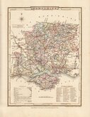
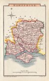
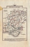
Hampshire Maps
( Page 1 of 3 )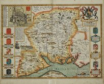
John Speed 1611
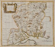
Robert Morden 1695
Emanuel Bowen 1720
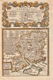
Thomas Read 1744 [1769]
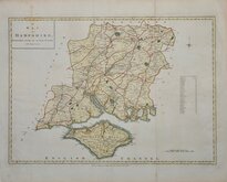
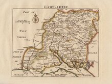
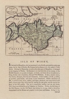
John Haywood 1791
George Cole 1810
Sidney Hall 1820 [1834]
George & John Cary 1822


46x34 cm
CLEAR UNCLUTTERED MAP
A MAP OF HAMPSHIRE, ENGRAVED FROM AN ACTUAL SURVEY with Improvements.
Haywood Del. | Sudlow Sculp.
Engraved for J. Harrison, 115, Newgate Street, as the Act directs, Dec.r 16. 1788.
Drawn by John Haywood and engraved by Sudlow, the maps in the series were initially issued at monthly intervals bearing dates from September 1787 but production faltered and issues became erratic with the final map, Sussex, bearing the date of March 1791. The completed series first appearing in Maps of the English Counties… published by John Harrison in 1791. Despite the claims in the title that the maps were from a new survey, the information was probably taken from the maps by Thomas Kitchin and Emanuel Bowen in the Large English Atlas of 1749. The work was not a commercial success and a new edition at a reduced price was issued the following year.
Good example, vertical folds as usual. Fine hand colour.
Quick Links

Berkshire Maps

Wiltshire Maps
×