
Berkshire Maps
Hampshire Maps
( Page 1 of 3 )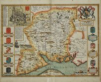
John Speed 1611
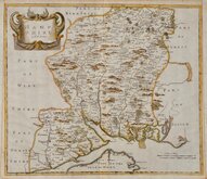
Robert Morden 1695
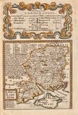
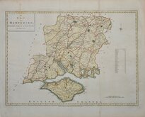
Emanuel Bowen 1720
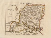
Thomas Read 1744 [1769]
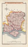
John Haywood 1791
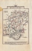
George Cole 1810
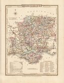
Sidney Hall 1820 [1834]
George & John Cary 1822


12x18 cm
"OWEN & BOWEN"
A MAP of HAMP SHIRE
Map set below a decorative cartouche containing the title and details of the road from London to Poole.
Road map of the second part of the route from Kendal to Cockermouth verso.
Engraved text descriptions alongside the county map and alongside and below the road map.
Engraved by Emanuel Bowen (1693?-1767) and published in the pocket road book Britannia Depicta by Thomas Bowles from 1720 to 1764. The county maps were based on Robert Morden's small series published in The New Description and State of England... from 1701. Text descriptions compiled by John Owen.
Some minor patchy toning but still a good example in neat hand colour.
For full description of the road, go to category: Maps > British Isles > RoadMaps > Owen & Bowen. For more information on Britannia Depicta, see the category heading under Owen & Bowen.
Quick Links

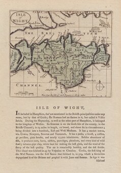
Isle of Wight

Wiltshire Maps
×