
Somerset Maps
Gloucestershire Maps
( Page 2 of 3 )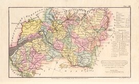
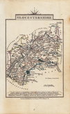
Henry Cooper 1808
John Cary 1809
George Cole 1810
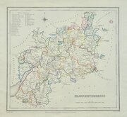
Sidney Hall 1820
John Cary 1822
Roger Creighton 1831 [1844]
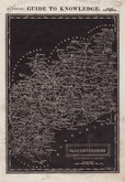
Gray & Son 1833
Joshua Archer 1833


20x27 cm
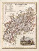
HIGHLY DECORATIVE MAP WITH VIGNETTES AND ARMORIALS.
GLOUCESTERSHIRE.
This series of decorative steel-plate engraved maps are commonly known by the name Thomas Moule as they were first issued from May 1830 in a series of parts of The English Counties Delineated written by him. The engraving of the plates was shared between James Bingley, W. Schmollinger and John Dower. Confusingly the engravers names were changed after the first issue on a number of plates. Gloucetsrshire was engraved by James Bingley.
Following the parts issue, the first complete edition of The English Counties Delineated was published by George Virtue in 1837 several editions followed until 1839 and the plates were extensively used thereafter by George Virtue and his son James Sprent Virtue in A Complete and Universal Dictionary of the English Language by the Rev. James Barclay until 1857.
The maps were frequently updated to reflect the rapidly developing railway network.
Includes vignettes of Gloucester Cathedral, Tewkesbury Abbey and Cheltenham Spa.
This example is from the 1842 edition published Barclay's Dictionary.
Fine hand colour. Good margins.
Quick Links

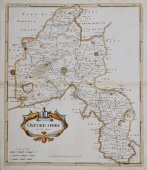
Oxfordshire Maps

Wiltshire Maps
×