
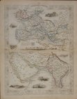
Eastern Europe & Turkey
Far East & India
( Page 2 of 5 )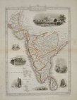
Southern India - Tallis 1850
India Routes - Tallis 1850
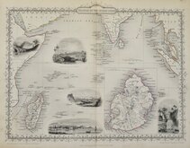
Indian Ocean - Tallis 1851
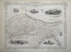
Pakistan Afghanistan - Tallis 1851
Southern India - Tallis 1851
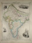
Northern India - Tallis 1851
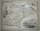
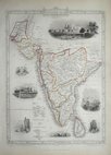
British India - Tallis 1851
China & Myanmar - Tallis 1851


52x32 cm
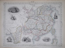
Coloured lithograph with overprinted colour showing shipping routes published by George Franklin Cram.
Maps of Australia and Oceana verso with remains of framer's hanging tape to one edge.
Quick Links


Asia

Historical Maps
×