
Historical Maps
Far East & India
( Page 2 of 5 )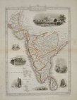
Southern India - Tallis 1850
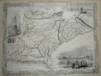
India Routes - Tallis 1850
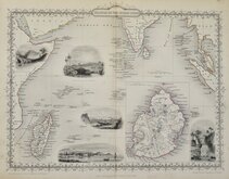
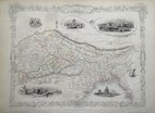
Indian Ocean - Tallis 1851
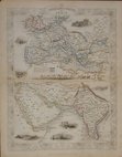
Pakistan Afghanistan - Tallis 1851
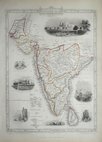
Southern India - Tallis 1851
Northern India - Tallis 1851
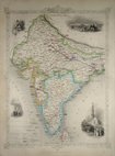
British India - Tallis 1851
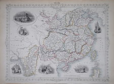
China & Myanmar - Tallis 1851

£40 China & Myanmar - Tallis
Ref: m3597gt
Add to
basket
Thanks,Your Product Has Been Added To Basket

33x25 cm
Later edition of John Tallis's maps with decorative vignettes removed published by in geographical dictionaries until about 1880.
Fine hand colour.
Quick Links


Eastern Europe & Turkey

Asia
×