
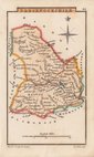
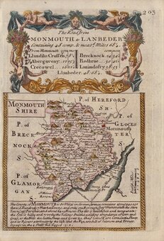
Monmouthshire
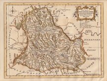
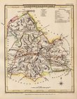
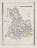
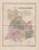
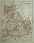
Brecknockshire
( Page 1 of 1 )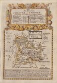
Emanuel Bowen 1720
Thomas Kitchin 1763
Britton J 1810
Sidney Hall 1820
Cole & Roper 1842
Roger Creighton 1844
Joshua Archer 1858
Weller, F. S. 1891


18x23 cm
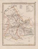
BRECKNOCKSHIRE
Engraved by J. Roper, drawn by George Cole. This series of maps were intended to accompany The Beauties of England and Wales. The maps were not actually published with this work but first issued in parts as a separate series between 1804 and 1810 and first appearing in atlas form in The British Atlas published by Vernor Hood & Sharpe (& nine other publishers) in 1810. The maps were re-issued in several publications including Dugdale's Curiosities of Great Britain until 1843. Their final appearance was by lithographic transfer in Collins' railway and pedestrian atlas… published by Darton and Co. in 1858.
This example of the map of Brecknockshire is from the 1842 edition of Dugdale's Curiosities.
Good example in fine original hand colour.
Quick Links
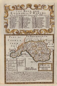
Glamorganshire
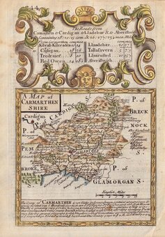
Carmarthenshire
×