
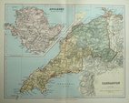
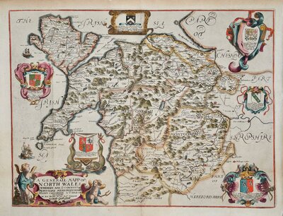
North Wales
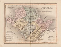
Anglesey
( Page 1 of 1 )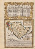
Emanuel Bowen 1720
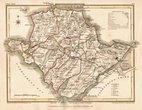
Cole & Roper 1810
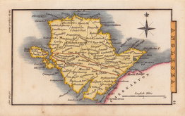
Sidney Hall 1820
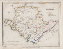
Roger Creighton 1844
Joshua Archer 1858
Weller, F. S. 1891
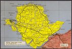
Anglesey Postcard 1960


12x18 cm
MONA, now called ANGLESEY, ISLAND.
Map set below a decorative cartouche containing the title and details of the road from London to Holyhead.
Road map of the final part of the route from London to Hythe verso.
Engraved text descriptions below the county map and alongside and below the road map verso.
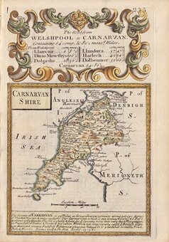
Engraved by Emanuel Bowen (1693?-1767) and published in the pocket road book Britannia Depicta by Thomas Bowles from 1720 to 1764. The county maps were based on Robert Morden's small series published in The New Description and State of England... from 1701.
Good example in fine hand colour both sides.
(For full description of the road, go to category: Maps > British Isles > RoadMaps > Owen & Bowen.)
Quick Links

Whole of Wales
Caernarfonshire
×