
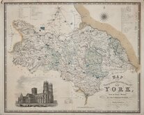
Whole of Yorkshire
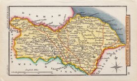
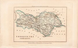
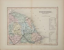
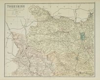
Yorkshire North Riding
( Page 3 of 3 )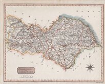
Samuel John Neele 1819
Sidney Hall 1820 [1834]
George Kemp 1833 [c1840]
C & J Greenwood 1834
Thomas Moule 1837 [1845]
Samuel Tymms 1838
Joshua Archer 1842 [1848]
Edward Weller 1865 [1885]


25x20 cm
HILLS SHOWN BY HATCHURING.
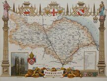
NORTH RIDING OF YORKSHIRE.
Neele sculp.t Strand.
Drawn and engraved by Samuel John Neele (1758-1824) and based on John Cary's 'quarto' map of 1793. The early publication of this series of maps is complex with loose issues and parts issues for many counties and publication by J & J Cundee and by J Robins & Co. the first main publication with all the county maps was The New British Traveller; or, modern panorama of England and Wales... published about 1819.
Samuel John Neele was a prolific engraver working from Russell Court from 1781 and 352 Strand from 1785-1824. He traded with his younger brother George Neele as “S.& G. Neele” 1826-1824 and with his son James Neele as “Neele & Son” 1816-1824.
Neat hand colour.
Ref. Whitaker Printed Maps of Yorkshire [323]
Quick Links


Yorkshire West Riding

Yorkshire East Riding
×