
Road Maps
Regional Maps of England & Wales
( Page 1 of 10 )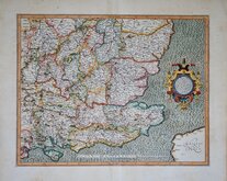
Gerard Mercator South East England 1630
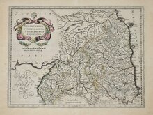
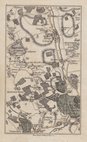
Cumberland Northumberland Durham 1639
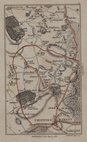
Essex Part Chapman and Andre 1777
Essex Part Chapman and Andre 1777
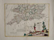
Southern Britain Zatta 1778
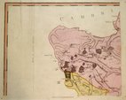
Kings Langley 1786
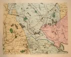
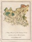
Barnet 1786
Cadell & Davies 1791


65x53 cm
Sheet No. 49 from John Cary's large scale 65 sheet sectional map of England and Wales entitled: Cary's Improved Map of England and Wales with a considerable portion of Scotland Planned on a scale of Two Statute Miles to One Inch.
Extent: Knaresborough to Hull an Pontefract to to Thirsk.
Large copper engraving in original hand colour.
Fine condition.
Quick Links


Town Plans

Folding Maps
×