
Folding Maps
Regional Maps of England & Wales
( Page 2 of 10 )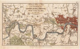
London Brentford 1792
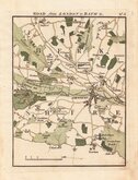
London to Bath Newbury 1792
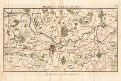
London to Bath Reading 1792
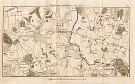
London to Bath Windsor Maidenhead 1792
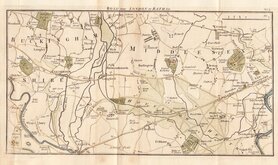
London to Bath Brentford Staines 1792
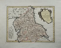
North England Joseph von Reilly 1799
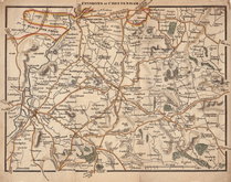
Environs of Cheltenham 1800
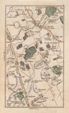
Elstree, Herts by Cary 1800


65x53 cm
Sheet No. 49 from John Cary's large scale 65 sheet sectional map of England and Wales entitled: Cary's Improved Map of England and Wales with a considerable portion of Scotland Planned on a scale of Two Statute Miles to One Inch.
Extent: Knaresborough to Hull an Pontefract to to Thirsk.
Large copper engraving in original hand colour.
Fine condition.
Quick Links


Road Maps

Town Plans
×