
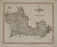
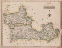
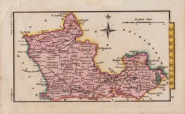
Road Maps
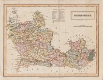
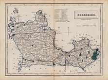
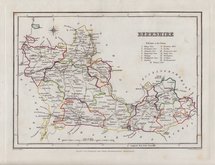
Berkshire Maps
( Page 3 of 4 )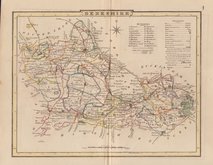
George Cole 1804 [1838]
John Cary 1808 [1809]
Samuel John Neele 1818
Sidney Hall 1820
John Cary 1822
Sidney Hall 1830
Sidney Hall 1830 [1852]
Roger Creighton 1831 [1840]


24x18 cm
ORIGINAL OUTLINE COLOUR.
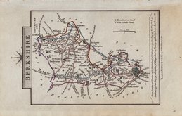
BERKSHIRE.
Drawn & Engraved by J.Archer, Pentonville, London.
First published in Curiosities of Great Britain, England and Wales Delineated…by Thomas Dugdale by L.Tallis in 1842. The work was re-issued a number of times until 1860. The maps also appeared in The Universal English Dictionary…by the Rev. James Barclay and finally in Tallis's topographical dictionary of England & Wales in 1860.
This example is from the 1848 edition of Dugdales Curiosities in original outline hand colour.
Quick Links


Bedfordshire Maps
Berkshire Prints
×