
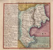
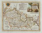
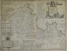
Road Maps
Berkshire Maps
( Page 1 of 4 )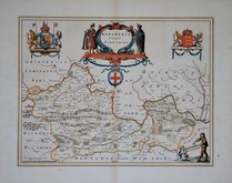
Jan Blaeu 1645
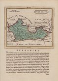
John Seller 1694 [1784]
John Seller 1694 [1784]
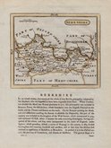
Robert Morden 1695 [1753]
Emanuel Bowen 1720
Thomas Badeslade 1742
Thomas Kitchin 1751 [1786]
Emanuel Bowen 1756 [1763]


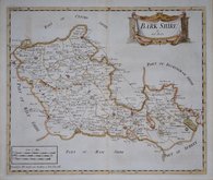
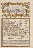
12x7 cm
COLOURFUL MINIATURE MAP
BERKSHIRE
Pub. by S.Leigh, 18. Strand. | Sid.y Hall sculp.t
Miniature map engraved by Sidney Hall and first published by Samuel Leigh in Leigh's New Pocket Atlas of England and Wales in 1820. The little atlas was popular running to ten editions, his widow, Mary Ann Leigh continuing publication after 1831 until the final editions in 1842 & 43 published by George Biggs and Orlando Hodgson.
Light creasing top left corner but still a good hand coloured example from the first edition.
Quick Links

Berkshire Prints

Bedfordshire Maps
×