
Whole of Britain & British Isles
Whole of France
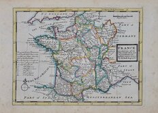
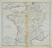
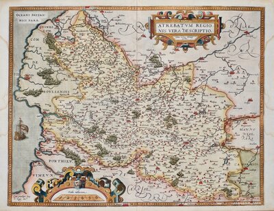
( Page 1 of 5 )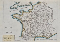
John Senex 1711
Herman Moll 1727
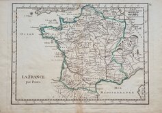
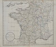
Georges Louis le Rouge 1756
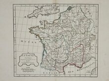
Dilly & Robinson 1785
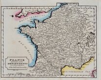
John Russell 1799
Delamarche 1806
Samuel Topham 1808
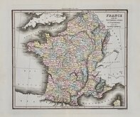
Michael Thomson 1816


27x20 cm
LA FRANCE par Postes
Produced and published by Georges Louis le Rouge in Atlas Nouveau Portati...Le Rouge et al., Paris 1756.
George-Louis de Rouge (1712-1790?), French cartographer, engraver architect and engineer. Born in Hanover, the son of architect, Louis Remy de la Fosse. From 1736 he lived in Paris and served as the Kings geographer engineer of France to Louis XV. Among his cartographical output, he produced and published a twenty one sheet map of Holland in 1744, from 1747 he worked with John Roque on English maps, in 1759 he produced an atlas of Germany on one hundred sheets, and from 1775 to 1789 he produced over fifteen hundred plans and views of stately gardens. Records of him are lost during the French Revolution (1789-1794) and the date of his death are uncertain.
Good example in original outline hand colour.
Quick Links


Whole of Europe
Parts Regions & Departments of France
×