
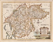
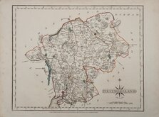
Cumberland Maps
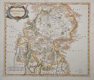
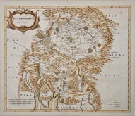
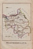
Westmorland Maps
( Page 1 of 4 )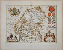
Jan Blaeu 1645
Robert Morden 1695 [1722]
Robert Morden 1695 [1753]
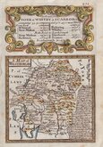
Emanuel Bowen 1720
Emanuel Bowen 1720
Joseph Ellis 1765 [1773]
John Cary 1787
Robert Butters 1803


42x37 cm
FIRST MAP OF THE COUNTY TO SHOW LONGITUDE FROM LONDON
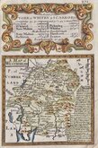
WESTMORLAND
by Robt. Morden
Copper engraving produced by Robert Morden for publication in Edmund Gibson's translation of William Camden's Britannia first published by Abel Swalle and Awnsham & John Churchill in 1695. This is the first series of maps to mark longitude in minutes of time (top border) as well as in degrees (bottom border). For most counties longitude is based on the meridian of St. Paul's, London.
The work was republished in 1722, 1730, 1753 and, finally in 1772. There were a number of minor alterations to most plates in the series during the early editions and many were substantially updated for the 1722 edition mostly with changes to place name spellings. Due to wear caused by the printing process the plates were reworked, with re-engraving to the finer cuts which had become indistinct, for the 1753 edition.
This example from the 1753 edition has some slight offsetting from the incompletely dried ink but otherwise a clean, good impression with with good margins all round and fine later hand colour.
Quick Links


Yorkshire Maps

Lancashire Maps
×