
Kent Maps
Surrey Maps
( Page 2 of 5 )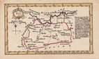
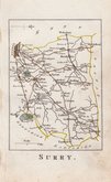
John Gibson 1759
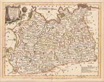
Joseph Ellis 1765 [1773]
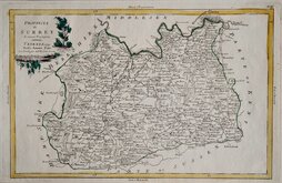
Antonio Zatta 1779
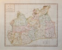
John Haywood 1788
Cadell & Davies 1791
Benjamin Baker 1794 [1806]
Charles Smith 1801
Robert Butters 1803


11.5x6.5 cm
SCARCE MINIATURE MAP.
Surry
Engraved by John Gibson, this series of maps appeared in a miniature atlas entitled New and Accurate Maps of the Counties of England and Wales Drawn from the latest surveys by J Gibson. London. J. Newbery 1759. The work was possibly intended for children, the publisher, John Newbery, being well known for his juvenile publications, There was only one further issue of the work published by Thomas Carnan c.1779 and the maps are uncommon today.
Nice example. Light vertical fold at centre.
Quick Links


Middlesex Maps

Sussex Maps
×