
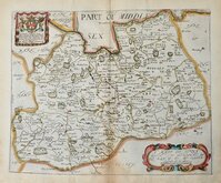
Sussex Maps
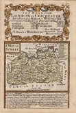
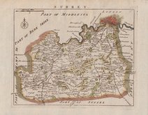
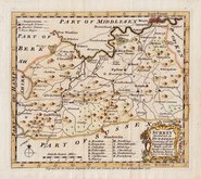
Surrey Maps
( Page 1 of 5 )
Jan Blaeu 1645
Richard Blome 1673
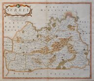
Robert Morden 1695 [1722]

Robert Morden 1695 [1722]
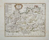
Robert Morden 1701 [c.1708]
Emanuel Bowen 1720
Thomas Read 1744 [1753]
Emanuel Bowen 1756


19x15 cm
LITHOGRAPH IN FINE HAND COLOUR.
SURREY
Lithographic transfer from a copper engraved map first published by Henry Teesdale in A new travelling atlas, containing a complete set of county maps.. The whole carefully revised and corrected to the year 1830.
The plate and lithographic transfers were amended many times over a period of over 30 years including a complete re-engraving of the map on a slightly larger scale, Their final appearance were in John Heywood's county atlas of England and Wales in 1882.
Fine hand coloured example from the 6th lithographic transfer, with plate number and without imprint, published by John Heywood in The Travelling Atlas of England and Wales…revised and corrected to the present time. [1868].
Quick Links


Kent Maps

Middlesex Maps
×