
Sussex Maps
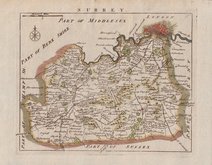
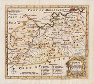
Surrey Maps
( Page 1 of 5 )
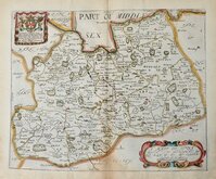
Jan Blaeu 1645
Richard Blome 1673
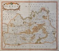
Robert Morden 1695 [1722]

Robert Morden 1695 [1722]
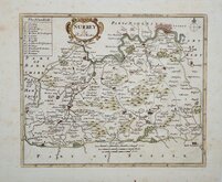
Robert Morden 1701 [c.1708]
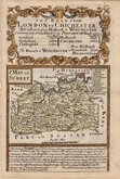
Emanuel Bowen 1720
Thomas Read 1744 [1753]
Emanuel Bowen 1756

£95 Christopher & John Greenwood
Ref: 3539mg
Add to
basket
Thanks,Your Product Has Been Added To Basket

69x57 cm
LARGE MAP. ORIGINAL COLOUR.
MAP of the COUNTY of SURREY. from an Actual Survey made in the years 1822 & 1823. BY C.& I. GREENWOOD.
Published by the Proprietors GREENWOOD & Co. 13, Regent Street, Pall Mall, LONDON.
Corrected to the present period.
Published July 4th.1829.
Engraved by J.&.C Walker, 47 Bernard Str.t Russel Square.
The Greenwoods had planned to produce a set of new surveys of the English counties at an inch to a mile with the claim that they were to be based on new surveys. There is doubt about this claim, the maps appearing to be based on Ordnance survey and other sources but even so finances were stretched and, although an advertisement appeared about 1830 for a full set of English counties at 125 guineas, six counties were not actually completed and their business appears to have ceased trading. This set of reduced versions of their maps, published in The Atlas of the counties of England, from actual surveys made from the years 1817 to 1833, by C & J Greenwood. in 1834., were issued from the premises of John & Charles Walker, the firm employed, among others, by the Greenwoods as engravers.
The right margin has some creasing, nicks and spotting not affecting the printed area. A tear in this right margin, now repaired with archival tape verso, reaches the printed border.
Original hand colour. Unusual without a centrefold.
Large vignette of Lambeth Palace and Church.
Quick Links


Kent Maps

Middlesex Maps
×