
Road Maps
Regional Maps of England & Wales
( Page 7 of 10 )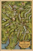
Lake District Map Postcard 1960
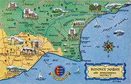
Romney Marsh Postcard 1960
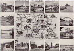
Tyneside Teeside 1960
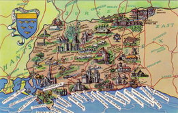
West Sussex 1960
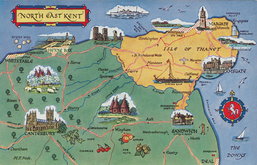
North East Kent Map Postcard 1965
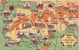
Chiltern Hills Postcard 1970
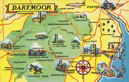
Dartmoor Postcard 1970
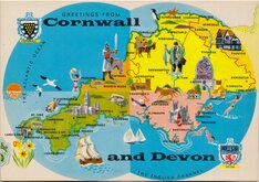
Devon and Cornwall Postcard 1970


86x59 cm
ESSEX
BARTHOLOMEW/POST OFFICE POSTCODE MAP
GREAT BRITAIN & N. IRELAND SHEET 16
PRINTED AND PUBLISHED IN GREAT BRITAIN BY JOHN BARTHOLOMEW&SON LTD
© JOHN BARTHOLOMEW & SON LTD., EDINBURGH & POST OFFICE LONDON
Sheet 16 titled ESSEX from a series of 63 maps covering Great Britain and Northern Ireland, produced at a scale of Half Inch to a Mile by John Bartholomew & Son and The Post Office and published in 1974. Overprinted in red with postcodes and postcode boundaries.
Unfolded, some overall light creasing w but generally good condition.
Quick Links


Folding Maps

Town Plans
×