
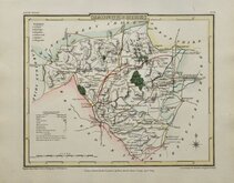
Cardiganshire
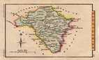
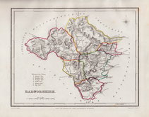
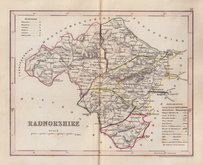
Radnorshire
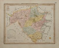
( Page 1 of 1 )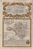
Emanuel Bowen 1720
J R Thompson 1810
Sidney Hall 1820
J R Thompson 1838
J R Thompson 1843
Roger Creighton 1844
Joshua Archer 1846
Weller, F. S. 1891


12x18 cm
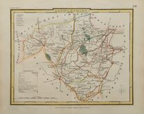
A MAP of RADNOR SHIRE
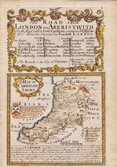
Map set below a decorative cartouche containing the title and details of the road from Prestatyn to Carmarthen. Arms of Roberts and decription of the county below.
Road map of the second part of the route from Oxford to Salisbury &c. verso.
Engraved by Emanuel Bowen (1693?-1767) and published in the pocket road book Britannia Depicta by Thomas Bowles from 1720 to 1764. The county maps were based on Robert Morden's small series published in The New Description and State of England... from 1701. Text descriptions compiled by John Owen.
For full description of the road, go to the listing under category: Owen & Bowen Raod Maps.
For more information on Britannia Depicta, see the description in the category heading under Owen & Bowen.
Quick Links
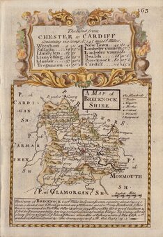
Brecknockshire
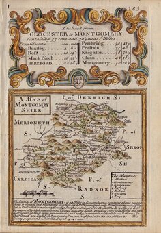
Montgomeryshire
×