
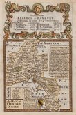
Buckinghamshire Maps
Oxfordshire Maps
( Page 1 of 3 )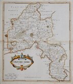
Robert Morden 1695 [1722]
Emanuel Bowen 1720
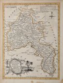
Thomas Kitchin 1749 [1769]
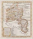
Emanuel Bowen 1758
Thomas Kitchin 1763 [1764]
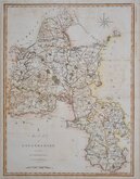
John Cary 1789 [1805]
John Haywood 1791
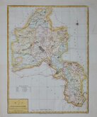
Benjamin Baker 1793


18x24 cm
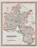
LATE EDITION WITH RAILWAYS
OXFORDSHIRE
Drawn & Engraved by J.Archer, Pentonville, London.
First published in Curiosities of Great Britain, England and Wales Delineated…by Thomas Dugdale by L.Tallis in 1842. The work was re-issued a number of times until 1960 amended to show the rapidly expanding railway network.The maps also appeared in The Universal English Dictionary…by the Rev. James Barclay and finally in Tallis's topographical dictionary of England & Wales in 1860.
This example is from the 1846 edition of Dugdales Curiosities in original hand colour outlining the hundreds of the county.
Quick Links


Town Plans

Berkshire Maps
×