
Buckinghamshire Maps
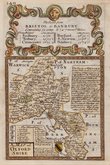
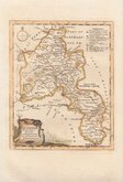
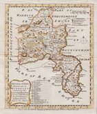
Oxfordshire Maps
( Page 1 of 3 )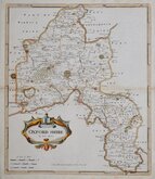
Robert Morden 1695 [1722]
Emanuel Bowen 1720
Thomas Kitchin 1749 [1769]
Emanuel Bowen 1758
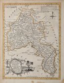
Thomas Kitchin 1763 [1764]
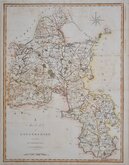
John Cary 1789 [1805]
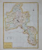
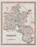
John Haywood 1791
Benjamin Baker 1793


34x44 cm
LARGE CLEAR ENGRAVING
A MAP OF OXFORDSHIRE, ENGRAVED FROM AN ACTUAL SURVEY with Improvements.
Haywood del.t | Sudlow sc.
Engraved for John Harrison, No.115, Newgate Street, as the Act directs, Nov.r 23. 1787.
Copper engraving by Edward Sudlow (fl.1784-1793) from a drawing by John Haywood (fl.1781-1792) and published by John Harrison in Maps of the English Counties, with the Subdivisions of hundreds...
This series of county maps were issued at erratic intervals over a four year period bearing dates between 1787 and 1789. The atlas Maps of the English Counties… was first issued in 1791 by J. Harrison and remained on sale for several years with several price reductions recorded, the atlas clearly did not sell well.
Good hand coloured example.
Quick Links


Town Plans

Berkshire Maps
×