
Mediterranean
Historical Maps
( Page 1 of 10 )
Saxon Heptarchy Robert Morden 1695

Roman Britain Robert Morden 1695
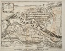
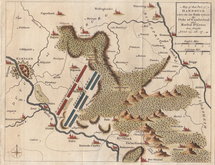
Cuneo Piedmont Savoy 1727
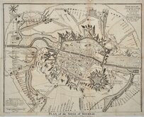
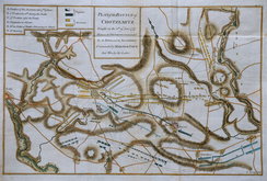
Siege of Tournai 1727
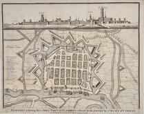
Nieuwpoort Belgium 1727
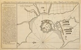
Vijaydurg Fort 1756
Battle of Hastenbeck 1757
Battle of Kolin 1757


29x22 cm
The Samartian Empire in the 7th Century B.C. North of the Black Sea extending from the Don River to the Ural Mountains.
Copper engraving by J. Roper in original hand colour.
Quick Links


Europe

Road Maps
×