
Mediterranean
Historical Maps
( Page 1 of 10 )
Saxon Heptarchy Robert Morden 1695

Roman Britain Robert Morden 1695
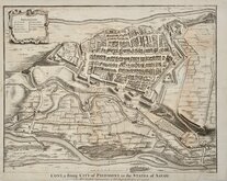
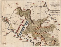
Cuneo Piedmont Savoy 1727
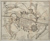
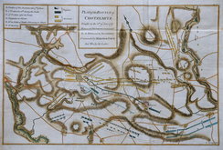
Siege of Tournai 1727
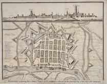
Nieuwpoort Belgium 1727
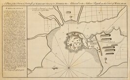
Vijaydurg Fort 1756
Battle of Hastenbeck 1757
Battle of Kolin 1757


21x30 cm
COUNTRIES Between EGYPT AND CANAAN, The supposed Route of the Israelites Coloured Red.
Published by William Collins. London & Glasgow.
Published in William Collins' Practical and Devotional Family Bible...Commentaries of Henry and Scott. Condensed by the Rev. John M.cFarlane, L.L.D. Glasgow...Glasgow William Collins, Buchanan Street. 1861.
Vignette: PYRAMIDS OF GHIZEH EGYPT I will make the land waste_I wull cause the Idols to cease out of Noph Ezekie XXIX.XXX.
Lithograph overprinted in yellow with hand applied red line.
Quick Links


Road Maps

Europe
×