
Mediterranean
Historical Maps
( Page 1 of 10 )
Saxon Heptarchy Robert Morden 1695

Roman Britain Robert Morden 1695
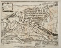
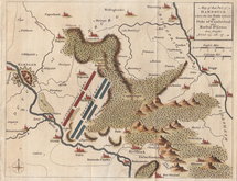
Cuneo Piedmont Savoy 1727
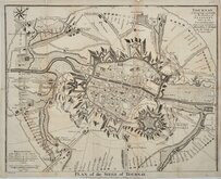
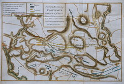
Siege of Tournai 1727
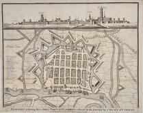
Nieuwpoort Belgium 1727
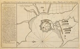
Vijaydurg Fort 1756
Battle of Hastenbeck 1757
Battle of Kolin 1757


36x28 cm
GALLIAE ANTIQUAE | TABULA | In Septem et Decem Provinciis | DIVISA | a Fr. DeLamarche 1825.
Original outline hand colour.
Quick Links


Road Maps

Europe
×