
Middlesex Maps
Hertfordshire Maps
( Page 1 of 11 )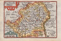
Pieter Keere 1605 [1646]
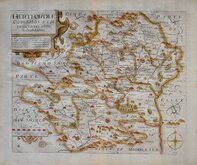
William Kip 1607 [1610]
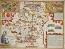
John Speed 1610 [1616]
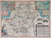
John Speed Original Colour 1610 [1616]
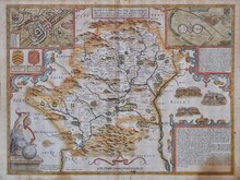
John Speed 1610 [1676]
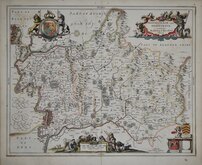
Jan Jansson 1646
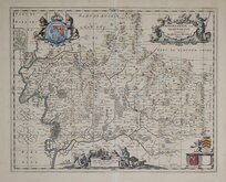
Jan Jansson 1646 [1714]
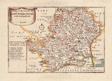
Richard Blome 1668 [1693]
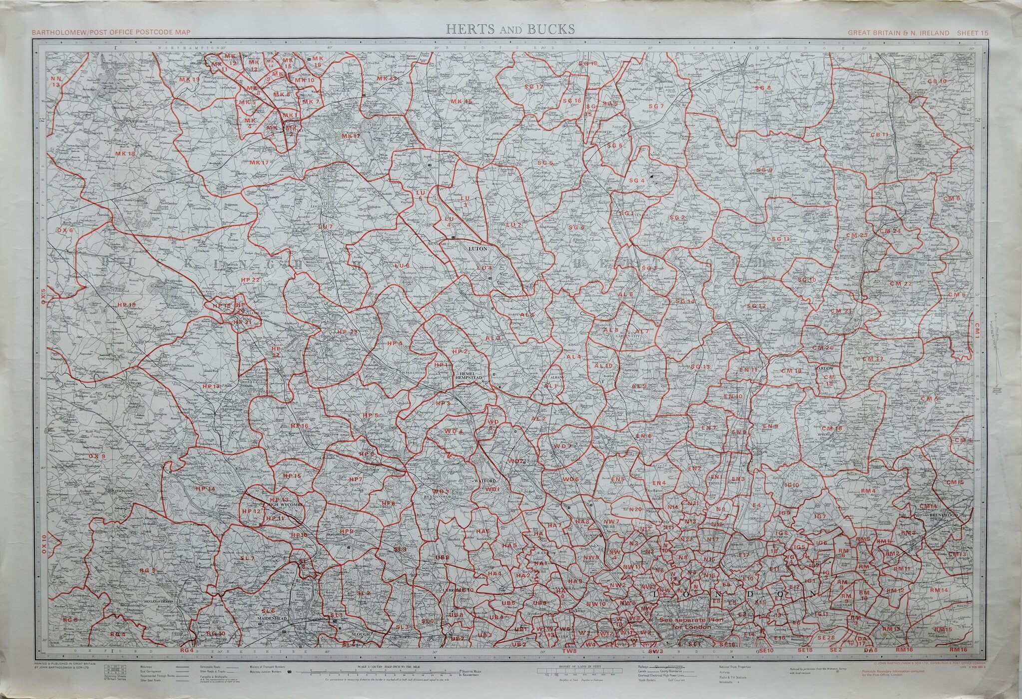

86x59 cm
POST CODE MAP HERTS AND BUCKS
HERTS AND BUCKS
BARTHOLOMEW/POST OFFICE POSTCODE MAP
GREAT BRITAIN & N. IRELAND SHEET 15
PRINTED AND PUBLISHED IN GREAT BRITAIN BY JOHN BARTHOLOMEW&SON LTD
© JOHN BARTHOLOMEW & SON LTD., EDINBURGH & POST OFFICE LONDON
Sheet 15 titled HERTS AND BUCKS but also including most of Middlesex and North London and parts of Essex, from a series of 63 maps covering Great Britain and Northern Ireland, produced at a scale of Half Inch to a Mile by John Bartholomew & Son and The Post Office and published in 1974. Overprinted in red with postcodes and postcode boundaries.
Unfolded, some overall light creasing but generally good condition.
Quick Links
Essex Maps
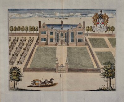
Hertfordshire Prints
×