
Essex Maps
Hertfordshire Maps
( Page 1 of 11 )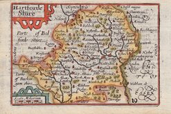
Pieter Keere 1605 [1646]
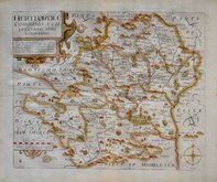
William Kip 1607 [1610]
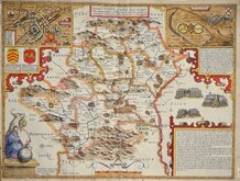
John Speed 1610 [1616]
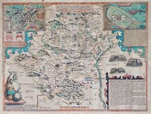
John Speed Original Colour 1610 [1616]
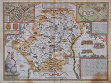
John Speed 1610 [1676]
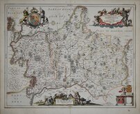
Jan Jansson 1646
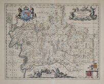
Jan Jansson 1646 [1714]
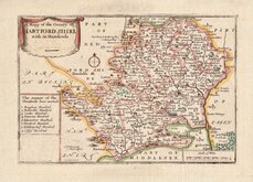
Richard Blome 1668 [1693]
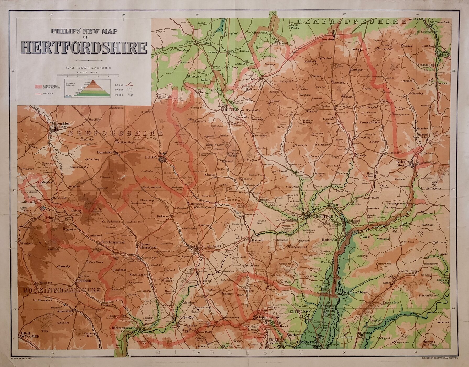

112 x 86 cm
LARGE TOPOGRAPHICAL LINEN BACKED WALL MAP
PHILIPS' NEW MAP OF HERTFORDSHIRE
GEORGE PHILIP & SON, LTD. | LONDON GEOGRAPHICAL INSTITUTE.
Printed colour showing elevation above sea level.
Large unfolded linen backed wall map.
Scale: 1" to a mile.
No date.
Some general creasing and some closed tears at edges. The linen back is undamaged so is probably a later backing, but generally good condition for a large wall map.
Quick Links
Middlesex Maps
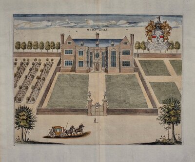
Hertfordshire Prints
×