
Essex Maps
Hertfordshire Maps
( Page 6 of 11 )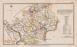
Henry Cooper 1808
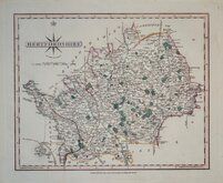
John Cary 1808 [1809]
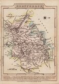
James Wallis 1812
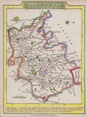
James Wallis 1812 [c.1819]
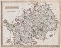
Samuel John Neele 1819
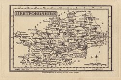
Robert Miller 1819 [1821]
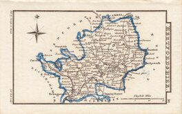
Sidney Hall 1820
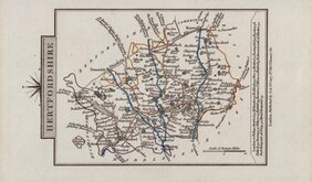
John Cary 1822
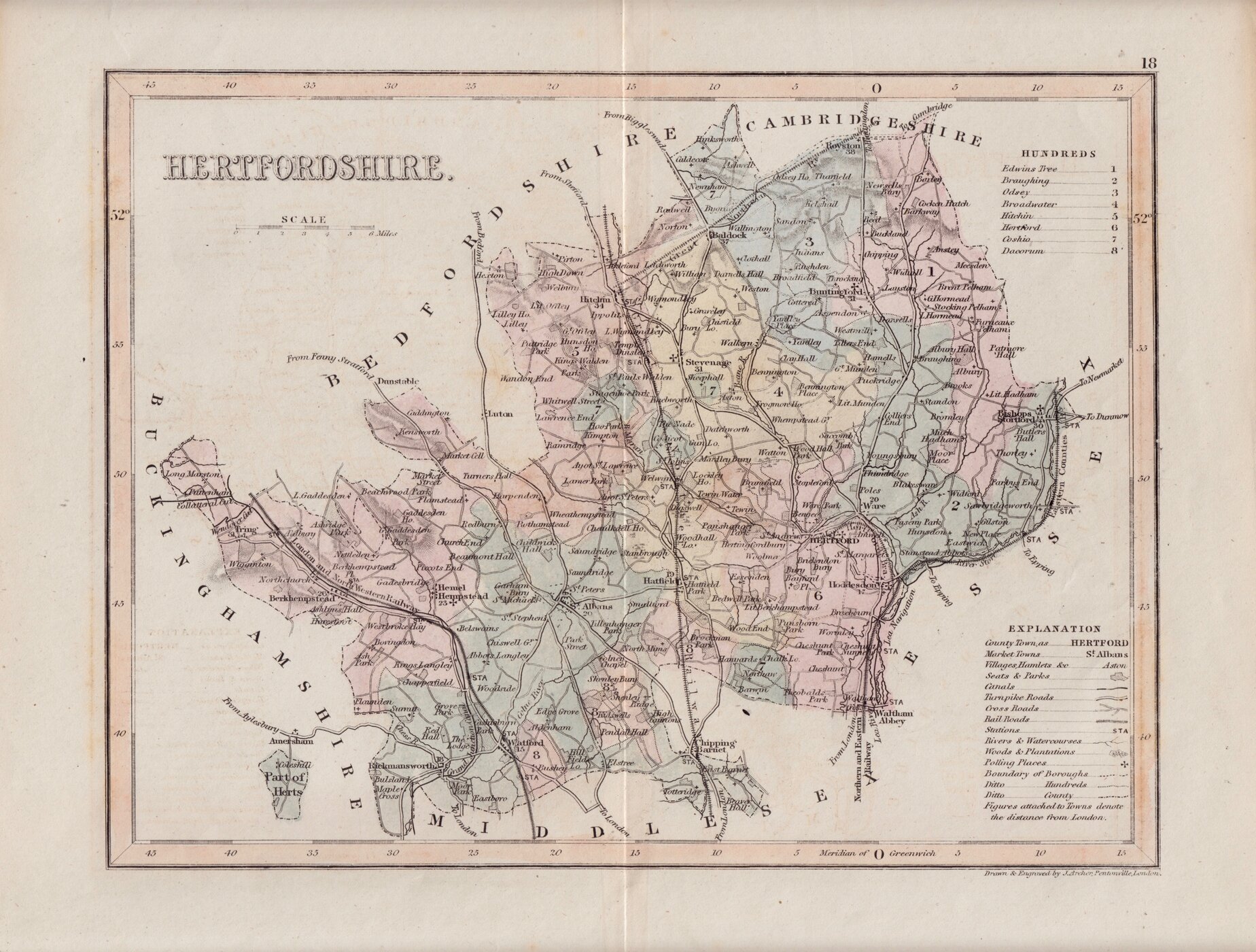

24x19 cm
LATE EDITION ORIGINAL WASH HAND COLOUR.
HERTFORDSHIRE.
Drawn & Engraved by J.Archer, Pentonville, London.
First published in Curiosities of Great Britain, England and Wales Delineated…by Thomas Dugdale by L.Tallis in 1842. The work was re-issued a number of times until 1860. The maps also appeared in The Universal English Dictionary…by the Rev. James Barclay and finally in Tallis's topographical dictionary of England & Wales in 1860.
This example, with the L. & N.W.R Watford to Dunstable line and the G.N.R. St. Albans branch and Hertford branch erased from the plate, is from the 5th state of the plate published Dugdale’s Curiosities in 1860.
Original hand colour.
Ref. Hodson Printed Maps of Hertfordshire. 106 (v)
Quick Links
Hertfordshire Prints
Middlesex Maps
×