
Eastern Europe & Turkey
Germany
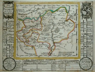
( Page 1 of 7 )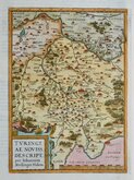
Thuringia Ortelius 1584
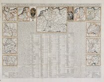
Henri Chatelain 1720
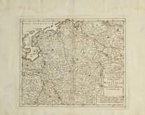
Westfalia Isaak Tirion 1740
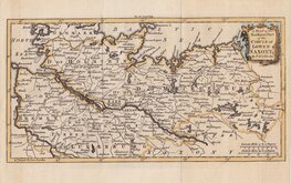
Upper Saxony Kitchin 1756
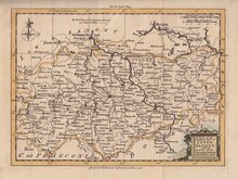
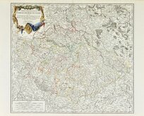
North Germany Kitchin 1756
Haute Saxe Du Vaugondy 1757
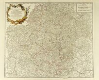
Franconia Robert De Vaugondy 1757
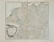
Empire Allemagne Robert de Vaugondy 1757


25x22 cm
A MAP of the CIRCLE of LOWER SAXONY, from the best Authorities, By Tho.s Kitchin Geographer.
The map covers the area from Kiel in the north to Gottingen in the south and Bremerhaven in the west to Neubrandenburg in the east.
Thomas Kitchin (1719-1784), engraver, cartographer and publisher, born in London 4th August 1719, the son of Thomas Kitchin, hat-dyer, and his wife Mary Birr. Apprenticed to Emanuel Bowen (1693-1767) 6th December 1732 to 6th August 1746. He married his master’s daughter, Sarah Bowen, during his apprenticeship, 25th December 1739. Their son, Thomas Bowen Kitchin was born about 1740. An active Baptist, he was deacon of the Barbican Baptist Chapel in 1768 and married Jane Burroughs (1720?-1789), daughter of celebrated baptist preacher Joseph Burroughs (1685-1761). Engraver to the Duke of York from about 1758. Traded as Thomas Kitchin & Son from 1769 and was Hydrographer to the King from 1773. He probably retired sometime around 1776, his premises at The Star, Holborn Hill, which may have been run by his son since their partnership, was taken over by William Hawkes, an apprentice of his son in 1776/1777. He moved to Fishpool Street, St Albans in 1768 and died 23rd June 1784. He was buried in a private vault at St Albans Abbey, his memorial stone on the floor of the Abbey has not survived.
Some stains to the paper mostly confined to the bottom margin outside the map. Worming to bottom paper edge nat affecting map. A good example in neat hand colour of a detailed and uncommon map.
Quick Links


Whole of Europe
Belgium & Luxembourg
×