
Eastern Europe & Turkey
Germany
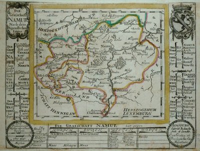
( Page 1 of 7 )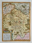
Thuringia Ortelius 1584
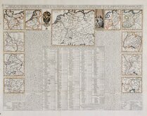
Henri Chatelain 1720
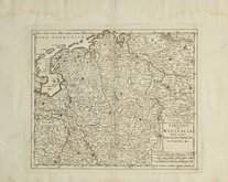
Westfalia Isaak Tirion 1740
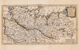
Upper Saxony Kitchin 1756
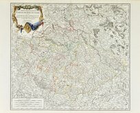
North Germany Kitchin 1756
Haute Saxe Du Vaugondy 1757
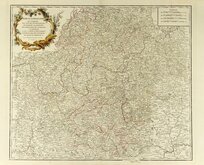
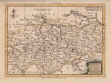
Franconia Robert De Vaugondy 1757
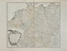
Empire Allemagne Robert de Vaugondy 1757


25x35 cm
GERMANY
The Illustrations by N.Whittock & Engraved by J.Rogers.
The Map Drawn and Engraved by J.Rapkin
J & F TALLIS LONDON EDINBURGH & DUBLIN.
This series of finely engraved and decorative maps were first published in parts from the end of the 1840's and issued as a complete work, The Illustrated Atlas, and Modern History of the World... in 1851. The work was published several times until about 1865, the maps were then used by Montgomery Martin, the author of the text for The Illustrated Atlas, in his British Colonies from 1854. The maps were later used with vignettes erased from the plate, in geographical dictionaries and encyclopaedia until about 1880.
Light diagonal crease to bottom left corner. Bottom margin slightly grubby. Original colour from the first edition of 1851. Without centrefold. With separate original page of text description of Germany.
Quick Links

Belgium & Luxembourg

Whole of Europe
×