
Whole of Europe
Germany
( Page 1 of 7 )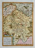
Thuringia Ortelius 1584
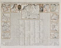
Henri Chatelain 1720
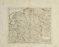
Westfalia Isaak Tirion 1740
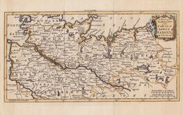
Upper Saxony Kitchin 1756
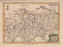
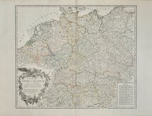
North Germany Kitchin 1756
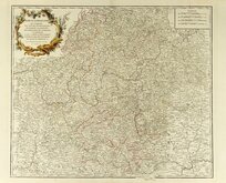
Haute Saxe Du Vaugondy 1757
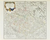
Franconia Robert De Vaugondy 1757
Empire Allemagne Robert de Vaugondy 1757


47x30 cm
GERMAN EMPIRE
The Edinburgh Geographical Institute. | John Bartholomew & Co.
Double page printed colour map published in The Engish Imperial Atlas and Gazetteer, J.G.Bartholomew, F.R.S.E.,F.R.G.S. London, T.Neslon & Sons, Paternoster Row, Edinburgh and New York. 1892.
Inset maps of the Rhine, Environs of Berlin, Kiel Bay, Heligoland, The environs of Hamburg and Bremen.
Maps of Denmark and Austria-Hungary verso.
Closed tear top border not affecting printed area.
Quick Links

Belgium & Luxembourg

Eastern Europe & Turkey
×