
Belgium & Luxembourg
Germany
( Page 1 of 7 )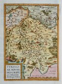
Thuringia Ortelius 1584
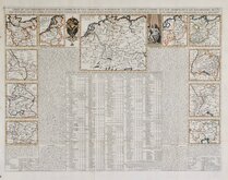
Henri Chatelain 1720
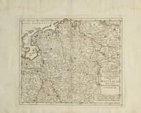
Westfalia Isaak Tirion 1740
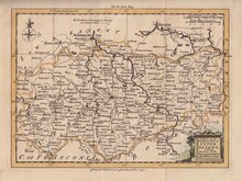
Upper Saxony Kitchin 1756
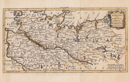
North Germany Kitchin 1756
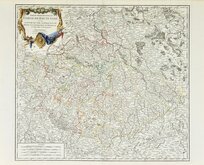
Haute Saxe Du Vaugondy 1757
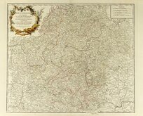
Franconia Robert De Vaugondy 1757
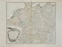
Empire Allemagne Robert de Vaugondy 1757


60x40 cm
INDEX MAP OF GERMANY
Engraved by J. Brown North Bridge Edin.r
Steel engraving by John Brown (fl.1834-1871) for Blacks General Atlas...Adam & Charles Black, 1841.
The map extends from Paris in the west to Vienna in the East and Zurich in the south to Hamburg in the north showing, The whole of Germany, Netherlands, Belgium, and Luxembourg, with parts of France, Switzerland, Austria, Czechnia and Poland.
Original outline hand colour. Closed tears at bottom and left margins, left tear just reaching printed border. Otherwise good.
Quick Links

Whole of Europe

Eastern Europe & Turkey
×