
Wales Maps
England & Wales
( Page 1 of 5 )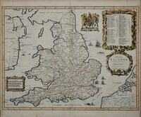
John Ogilby 1676

Saxon Heptarchy Robert Morden 1695
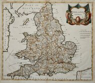
Robert Morden 1695
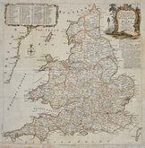
Herman Moll 1725
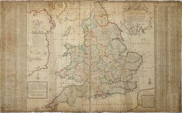
Thomas Kitchin 1763
John Cary 1809
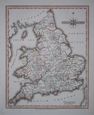
John Roper 1809
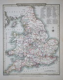
John Roper 1809

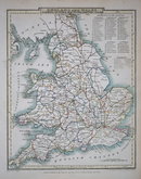
£5 Stanford Ordnance Survey Index
Ref: osi3
Add to
basket
Thanks,Your Product Has Been Added To Basket

20x27 cm
INDEX to the ORDNANCE SURVEY of ENGLAND AND WALES. on the Scale of One Inch to a Mile.
LONDON EDWARD STANFORD 55 CHARING CROSS
No date. c. 1890
Folds with splits into map at left edge repaired archival tape verso.
Quick Links


Whole of Britain & British Isles

Scotland Maps
×