
Wales Maps
England & Wales
( Page 3 of 5 )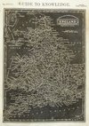
Joshua Archer 1833
William Swire 1836

Robert Seaton 1838
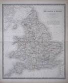
Joshua Archer 1842
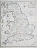
Alexander Keith Johnston 1843
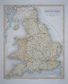
John & Charles Walker 1843
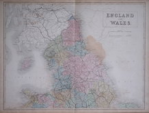
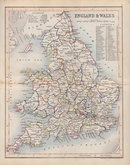
Sidney Hall 1844
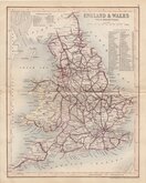
Joshua Archer 1846


15x23 cm
Engraved on a wood block. Published in Pinnock's Guide to Knowledge.
.Quick Links


Whole of Britain & British Isles

Scotland Maps
×