
Wales Maps
England & Wales
( Page 1 of 5 )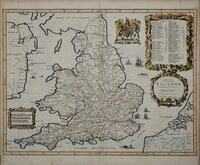
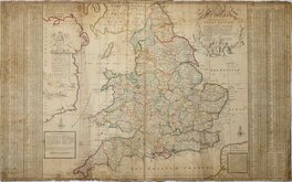
John Ogilby 1676

Saxon Heptarchy Robert Morden 1695
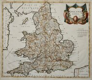
Robert Morden 1695
Herman Moll 1725
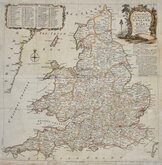
Thomas Kitchin 1763
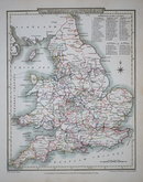
John Cary 1809
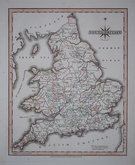
John Roper 1809
John Roper 1809

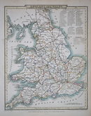
£100 Alexander Keith Johnston
Ref: 0918wg
Add to
basket
Thanks,Your Product Has Been Added To Basket

51x61 cm
ENGLAND & WALES BY A.K.JOHNSTON F.R.G.S.
John Johnstone and W.& A.K. Johnston Edinburgh. Robert Weir and James Lumsden & Son Glasgow.
Fine large steel engraving from The National Atlas of Historical, Commercial and Political Geography...by Alexander Keith Johnston. 1843.
Some light offsetting but still a beautifully prepared and detailed map in original hand colour.
Quick Links


Whole of Britain & British Isles

Scotland Maps
×