
Wales Maps
England & Wales
( Page 1 of 5 )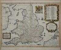
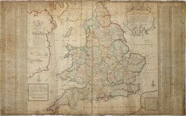
John Ogilby 1676

Saxon Heptarchy Robert Morden 1695
Robert Morden 1695
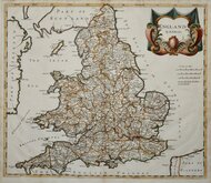
Herman Moll 1725
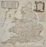
Thomas Kitchin 1763
John Cary 1809
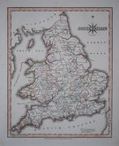
John Roper 1809
John Roper 1809


43x66 cm
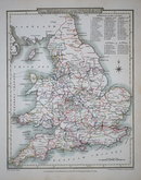
RAILWAYS, NORTHERN DIVISION
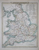
RAILWAYS, SOUTHERN DIVISION
Pair of double page colour lithograph printed maps of the Railways of England and Wales and Part of Scotland published in The Royal Atlas of England and Wales by John Bartholomew Edinburgh 1897.
Each map measures 43cm x 33cm.
Sold as a pair of maps.
Quick Links


Whole of Britain & British Isles

Scotland Maps
×