
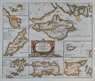
Sea Charts
Channel, Scilly and other small islands.
( Page 1 of 2 )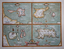
John Speed 1610 [1676]
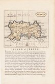
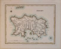
Jersey. John Seller 1694 [1787]
Robert Morden 1695 [1753]
Emanuel Bowen 1720
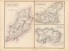
John Cary 1789 [1805]
Selina Hall. 1830 [1852]
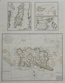
Jersey. Roger Creighton 1831
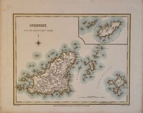
Guernsey. Roger Creighton 1831


30x18 cm
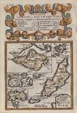
ESSO MAPS AFTER THE POSTERS FOR PRATT'S MOTOR OIL COMPANY.
ESSO PICTORIAL PLAN OF THE PRINCIPAL ISLANDS OF SOUTHERN BRITAIN
A.E.TAYLOR
The ISLE OF MAN Showing the T.T.Course
The SCILLY ISLES
The CHANNEL ISLES
GUERNSEY JERSEY HERM ALDERNEY SARK
The ISLE OF WIGHT
A.E.TAYLOR
Colour printed map drawn by Alfred Edward Taylor (1887-1959) and published in Pictorial Britain and Ireland...Designed by Alfred Taylor Described by S.P.B.Mais...H.K. McCann Company Limited, for Anglo-American Oil Company Ltd., London 1936.
Petre Mais writes in his foreword to the work;
"I have seldom, if ever, seen a happier blending of the artist and wit in a cartographer...[the maps] are jolly, they are informative, they are original, and they have a magic enticing quality about them... "
Quick Links


British Isles

Europe
×