
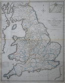
England & Wales
Whole of Britain & British Isles
( Page 1 of 2 )
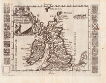
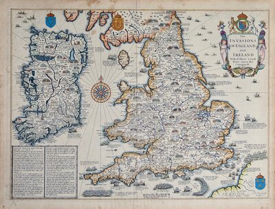
Roman Britain Robert Morden 1695
Daniel de la Feuille 1720
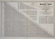
Pigot Distance Tables 1826
William Swire 1836
Hills of Britain 1842
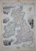
John Rapkin 1851
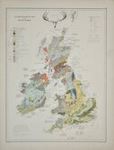
Palaeontological Johnston 1884
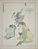
Ethnographic Johnston 1884


42x53 cm
MAP | OF THE | CANALS AND NAVIGABLE RIVERS, | IN | ENGLAND WALES AND SCOTLAND: | Compiled from the Latest & | Best Authorities | for Baines' Lancashire | BY WILLIAM SWIRE, SURVEYOR, LEEDS.
Large copper engraving by Sidney Hall issued in The History of Lancashire by Edward Baines published 1824 & 1836.
Uncommon but a poor example with several folds some split and repaired with archival tape. Slight loss at one fold intersetction (centre of Cheshire). Re-margined bottom half of left edge. Original hand colour faded.
Quick Links
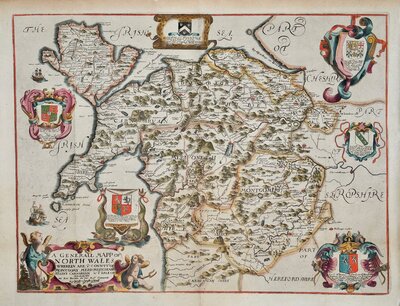
Wales Maps

Scotland Maps
×