
Road Maps
Regional Maps of England & Wales
( Page 2 of 10 )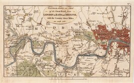
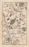
London Brentford 1792
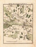
London to Bath Newbury 1792
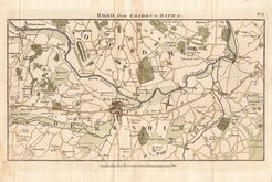
London to Bath Reading 1792
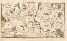
London to Bath Windsor Maidenhead 1792
London to Bath Brentford Staines 1792
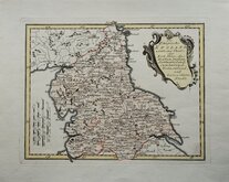
North England Joseph von Reilly 1799
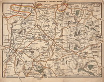
Environs of Cheltenham 1800
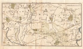
Elstree, Herts by Cary 1800


61x51 cm
COLOUR PRINTED.
ENGLAND AND WALES.
GEORGE PHILIP & SON LONDON & LIVERPOOL
Published in Philip's Imperial Library Atlas... edited by William Hughes F.R.G.S.... George Philip & Son, London and Liverpool, from about 1864.
William Hughes (1818?-1876) was a prolific mapmaker, geographer, engraver, printer and publisher from 1839 until his death in 1876.
Archival tape to marginal splits at centrefold top & bottom and to short tear in lower margin not affecting the printed area. Otherwise clean and undamaged.
Quick Links


Folding Maps

Town Plans
×