
Folding Maps
Regional Maps of England & Wales
( Page 4 of 10 )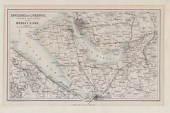
Liverpool Mersey & Dee 1858
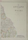
Edward Weller NE England 1859
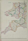
Edward Weller SW England & Wales 1859
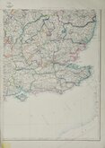
Edward Weller SE England 1859
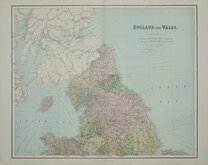
Northern England. William Hughes 1864 [1883]
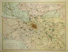
Environs of Glasgow 1867
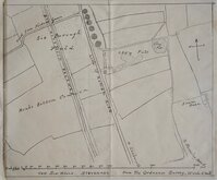
Six Hills Stevenage Herts 1880
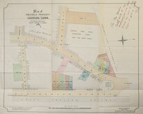
Canning Town Blackheath 1892

Request
Condition Report
Warwicum, Northamtonia, Huntingdonia, Cantabrigia, Suffolcia, Oxonium, Buckinghamia, Bedfordia, Hartfordia, Essexia, Berceria, Middlesexia, Southãtonia, Surria, Cantiû & Southsexia.
South East England by Gerard Mercator (1512-1594). Mercator's Atlas, was issued in three parts in 1585, 1590 and, posthumously, 1595. In 1604 Jodocus Hondius (1563-1612) acquired the plates, added maps of his own, and began publishing them from 1606. His son Henricus (1587-1638), together with his brother-in-law, Jan Jansson (1596-1664), continued publication of the Mercator-Hondius Atlas until 1642.
French text verso.
Very good clean example in fine hand colour.
Quick Links


Road Maps

Town Plans
×